Hiking
SWAGGIN TRAIL: FROM EAST TO WEST, YOU'LL FIND HIKING TRAILS FOR EVERY LEVEL (SAINT-CÔME)
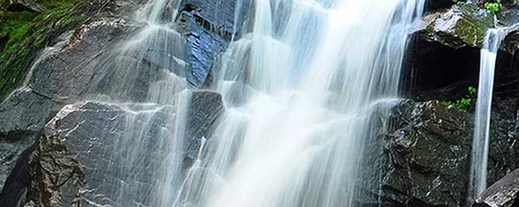
This section is divided into two parts. The western portion will satisfy sports enthusiasts. The trail starts at Chemin du Lac Clair and takes you to the top of the Montagne du Tranchant, an ideal lookout point over Lac Clair. To the east, the trail meanders along the Swaggin River, leading you through a series of cascades and a beautiful waterfall. The L’Assomption River footbridge and Swaggin shelter are located right next to the parking lot and make a nice picnic spot. (FREE ACCESS)
Level of difficulty Intermediate
Vertical drop 300 m
Duration 4 1/2 hours
Number of kilometres 8 km (one way)
Dogs accepted
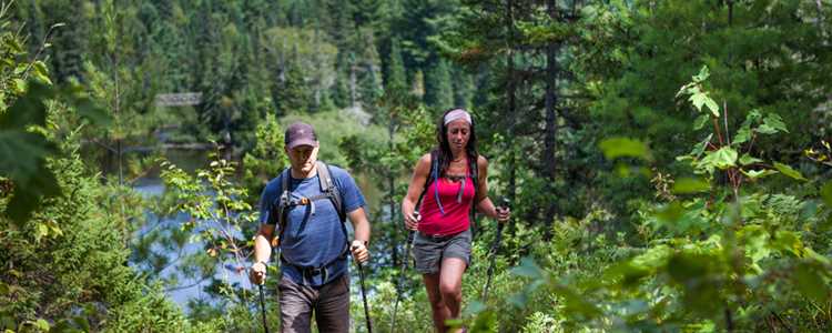
THE MONT OUAREAU SUMMIT - FOR AN ENDLESS PANORAMIC VIEW! (NOTRE-DAME-DE-LA-MERCI)
This short hike, which takes you to the top of Mont-Ouareau at an altitude of 692 metres, may be somewhat challenging, but it rewards hikers with a breathtaking panoramic view of Lac Ouareau. Well worth the climb!
Level of difficulty Intermediate
Vertical drop 370 m
Duration 3 hours
Number of kilometres 5 km (round trip)
Dogs accepted
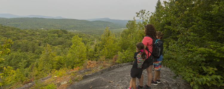
MAGNIFICENT FALLS (SAINTE-MÉLANIE, SAINTE-BÉATRIX AND SAINT-JEAN-DE-MATHA)
Three entry points: Sainte-Béatrix, Sainte-Mélanie and Saint-Jean-de-Matha. The L'Assomption River, marked by three impressive waterfalls, flows through the park for nearly 5 km. Hiking trails (12 km) lead you through this lush wilderness via three bridges spanning the river.
Level of difficulty Easy
Vertical drop N/A
Duration 45 min/km
Number of kilometres 21 km
Dogs accepted
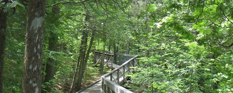
DES CONTREFORTS TRAIL: A LOVELY CHANGE OF PACE (NOTRE-DAME-DE-LA-MERCI)
This little known jewel offers hikers a chance to take in some vast colourful autumn landscapes. The loop climbs to 170 metres and offers outstanding panoramic views in a beautiful tranquil setting. After hiking from km 1 to km 3.5 of the Des Contreforts Trail, you reach the parking lot via the blue and white marked trail.
Level of difficulty Intermediate
Vertical drop 170 m
Duration 3 1/2 hours
Number of kilometres 6 km
Dogs accepted
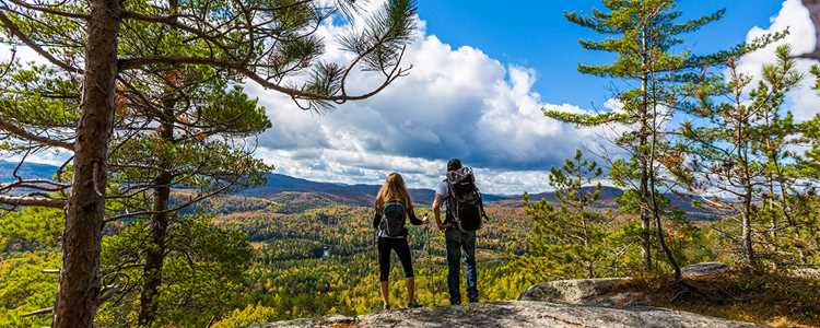
A RIVER RICH IN HISTORY (SAINT-CÔME)
Learn about the log driving history of the area and admire the village’s replica covered bridge. The scenic viewpoint is a must to appreciate the wild nature of Saint-Côme. Take a break at the summit or at the foot of the 18-metre high falls… relaxation guaranteed. This park is an ideal place for families.
Level of difficulty Easy
Vertical drop 80 m
Duration 2 hours
Number of kilometres 3 km
Dogs accepted
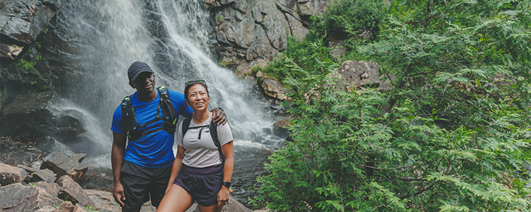
MONT-BRASSARD TRAIL (SAINT-ZÉNON)
This is a must-visit trail to enjoy the colourful autumn scenery. Reaching an altitude of more than 600 metres, the Mont-Brassard trail runs along the Lac Rémi cliff, offering a magnificent view of the lake and the surrounding hills. With its rocky capes and belvederes, this is a breathtaking northern landscape to explore.
Level of difficulty Intermediate
Vertical drop 250 m
Duration 4 1/2 hours
Number of kilometres 8,5 km
Dogs accepted
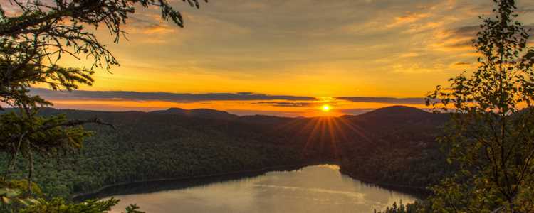
LES GRANDES-VALLÉES, MONT-TREMBLANT NATIONAL PARK
Hike in the forest up to a panoramic viewpoint over rolling hills and valleys.
Level of difficulty Intermediate
Vertical drop 220 m
Duration 2 hours
Number of kilometres 4,6 km (round trip)
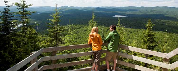
L'ENVOL TRAIL, MONT-TREMBLANT NATIONAL PARK, PIMBINA SECTOR (SAINT-DONAT)
Discover the sugar maple-yellow birch stand in a typical mountain forest in the Mont-Tremblant National Park and gaze upon the valley of the Pimbina from atop the scenic viewpoint. (Interpretation trail)
Level of difficulty Easy
Vertical drop 197 m
Duration 1 hour 45 minutes
Number of kilometres 4 km (round trip)
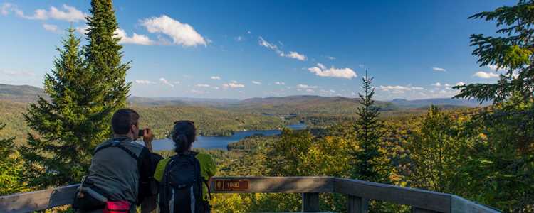
THE LIBERATOR PANORAMIC VIEWPOINT AND THE SUMMIT OF THE MONTAGNE NOIRE: A PROVINCIAL TREASURE (SAINT-DONAT)
The 35-year-old Intercentre trail is a portion of the National Trail, straddling the Lanaudière and Laurentides tourist regions. The Lanaudière portion takes you to the top of the Montagne Noire to discover the 1943 crash site of an RCAF Liberator aircraft. At 875 m, this is the highest summit in Saint-Donat. The Mésangeai shelter is at 850 m.
Level of difficulty Difficult
Vertical drop 460 m
Duration 6 hours
Number of kilometres 13 km (round-trip)
Dogs accepted

MONT-SOURIRE: PANORAMIC VIEWS FOR THE WHOLE FAMILY! (SAINT-DONAT)
Come admire a magnificent viewpoint without walking for hours. The Mont-Sourire is ideal for families. Less than one kilometre from the parking lot is a panoramic lookout point over the village of Saint-Donat, with Lac Ouareau and La Réserve ski centre in the foreground and Mont-Ouareau (692 m), Mont-Kaaïkop (839 m) and Montagne Noire (892 m) in the background. It’s simply breathtaking! The trail continues on Carcan Mountain (4.3 km), leading you deep into the forest surrounded by beautiful views of the natural setting. If you still have the energy, another 10 kilometres leads you to the foot of Mont-Garceau.
La Chouette shelter located at 1.4 kilometres from the belvedere welcomes hikers for a break. You can also reserve the shelter for a night’s stay by contacting the Saint-Donat Tourist Office at 819-424-2833.
Level of difficulty Easy
Vertical drop 490 m
Duration 1 hour or more
Number of kilometres Viewpoint 2 km (round trip), refuge 4,4 km (round trip)
Dogs accepted
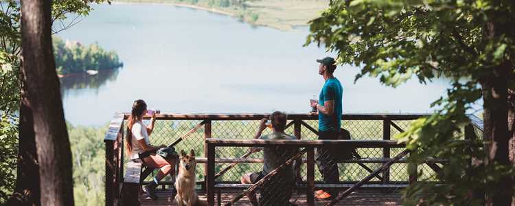
CAP DE LA FÉE: OUTSTANDING VIEW OF LAC ARCHAMBAULT
The trail winds through a coniferous forest dominated by balsam fir and spruce. Moss covers the ground and rocks. Hikers will enjoy the stream and cascades leading to the Grand-Duc shelter located at km 2. The trail then takes you to the top of Cap de la Fée, some 625 metres up. The view of Lac Archambault with Mont-Garceau in the horizon is well worth the climb.
Level of difficulty Intermediate
Vertical drop 625 m
Duration 2 1/2 hours
Number of kilometres 6,1
Dogs accepted
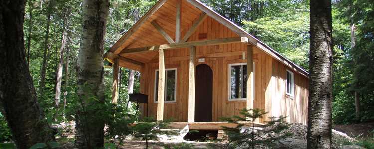
“Grande Boucle Zen'Nature”: a small Compostela route in Lanaudière
The “Grande Boucle Zen’Nature” is truly unique hiking trail. Covering a distance of 65.5 km, the trail offers four different routes of 15 to 23.5 km: “Le Parcours du forestiers,” “Le retour aux sources,” “La route des bosses” and “La traversée des lacs” with a shuttle service ($), accommodations ($) and restaurants ($).
Level of difficulty Intermediate
Vertical drop N/A
Duration 1 to 4 days
Number of kilometres 65 km
Dogs accepted
